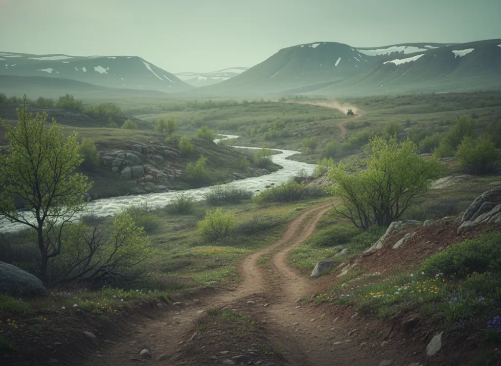
Land O' Lakes State Forest is a Minnesota DNR-managed state forest encompassing approximately 47,000 acres in Cass, Itasca, and Crow Wing counties in north-central Minnesota, the transition zone between the central Minnesota lake country and the deeper boreal forest country of the northern state border. The forest OHV trail system covers approximately 50 miles of designated routes on existing forest roads and purpose-built corridors through the classic north-central Minnesota landscape: mixed northern hardwood and boreal forest of red pine, white pine, balsam fir, paper birch, and aspen; the kettle lake and esker topography produced by the Laurentide Ice Sheet's retreat; and the numerous small lakes and wetlands that give the Land O' Lakes district its name and ecological character. The trail character is moderate in scale and technical difficulty, beginner and intermediate riders find the terrain accessible, while the tighter single-track corridors and the wetland edges provide meaningful riding for more experienced users. The forest is adjacent to the Chippewa National Forest's OHV network to the east, allowing riders with extended-stay itineraries to combine the two systems and access the combined 1,500-plus-mile trail network that defines the north-central Minnesota riding region. ATVs, UTVs, and off-highway motorcycles are permitted on designated trails. Minnesota OHV registration is required. DNR Deer River Area office (218-246-8341) handles current trail conditions and seasonal access.
Hours
Open year-round on designated OHV trails. Minnesota OHV registration or non-resident permit required. No per-day trail fee.
Phone
218-246-8341Trip openings, seasonal updates, and the occasional deal, straight to your inbox.
FAQ
Everything you need to know before you get started.
Have a question, or ready to book? Reach out and we’ll get right back to you.